Security News
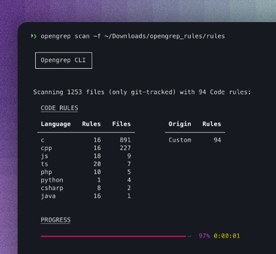
Opengrep Emerges as Open Source Alternative Amid Semgrep Licensing Controversy
Opengrep forks Semgrep to preserve open source SAST in response to controversial licensing changes.
@turf/projection
Advanced tools
@turf/projection is a module within the Turf.js library that provides functionality for projecting geographical coordinates. It allows for the conversion of coordinates between different coordinate reference systems (CRS), which is essential for various geospatial analyses and visualizations.
toMercator
Converts a GeoJSON object from geographic coordinates (longitude, latitude) to Mercator (x, y) coordinates.
const turf = require('@turf/turf');
const point = turf.point([-75.343, 39.984]);
const projected = turf.toMercator(point);
console.log(projected);toWgs84
Converts a GeoJSON object from Mercator (x, y) coordinates to geographic coordinates (longitude, latitude).
const turf = require('@turf/turf');
const point = turf.point([0, 0]);
const projected = turf.toWgs84(point);
console.log(projected);Proj4 is a JavaScript library for converting coordinates between different coordinate reference systems. It is highly versatile and supports a wide range of projections. Compared to @turf/projection, proj4 offers more extensive support for various CRS and is often used in more complex geospatial applications.
Converts a WGS84 GeoJSON object into Mercator (EPSG:900913) projection
options Object? Optional parameters (optional, default {})
options.mutate boolean allows GeoJSON input to be mutated (significant performance increase if true) (optional, default false)var pt = turf.point([-71,41]);
var converted = turf.toMercator(pt);
//addToMap
var addToMap = [pt, converted];
Returns GeoJSON Projected GeoJSON
Converts a Mercator (EPSG:900913) GeoJSON object into WGS84 projection
options Object? Optional parameters (optional, default {})
options.mutate boolean allows GeoJSON input to be mutated (significant performance increase if true) (optional, default false)var pt = turf.point([-7903683.846322424, 5012341.663847514]);
var converted = turf.toWgs84(pt);
//addToMap
var addToMap = [pt, converted];
Returns GeoJSON Projected GeoJSON
This module is part of the Turfjs project, an open source module collection dedicated to geographic algorithms. It is maintained in the Turfjs/turf repository, where you can create PRs and issues.
Install this single module individually:
$ npm install @turf/projection
Or install the all-encompassing @turf/turf module that includes all modules as functions:
$ npm install @turf/turf
FAQs
turf projection module
We found that @turf/projection demonstrated a healthy version release cadence and project activity because the last version was released less than a year ago. It has 0 open source maintainers collaborating on the project.
Did you know?

Socket for GitHub automatically highlights issues in each pull request and monitors the health of all your open source dependencies. Discover the contents of your packages and block harmful activity before you install or update your dependencies.

Security News
Opengrep forks Semgrep to preserve open source SAST in response to controversial licensing changes.

Security News
Critics call the Node.js EOL CVE a misuse of the system, sparking debate over CVE standards and the growing noise in vulnerability databases.

Security News
cURL and Go security teams are publicly rejecting CVSS as flawed for assessing vulnerabilities and are calling for more accurate, context-aware approaches.